Geology
Like the other properties within the Detour Trend Project the majority of the Jeremie Property is located within the Archean aged Harricana-Turgeon greenstone belt, part of the famed Abitibi Subprovince of the Canadian Shield. The northernmost and eastern margin portion of the Property straddles the boundary between the Abitibi and younger Opatica Subprovince which is dominated by granitic lithologies.
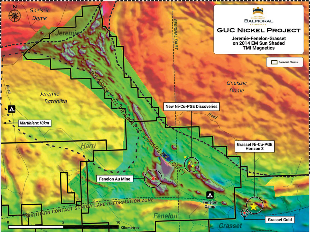
Due to extensive overburden cover and very limited drilling little is known about the detailed geology of the Jeremie Property. Interpretation of the available geophysical data suggest the southern portion of the property is underlain by the northwestern extension of the Fenelon felsic volcanic complex and the northwestern-most portion of the Grasset Ultramafic Complex. The northern portion of the property exhibits patterns suggestive of folding and dismemberment of the GUC as a result of emplacement of the Jeremie batholith and the rocks of the Opatica Subprovince. Rocks in the southern portion of the property exhibit greenschist facies metamorphism while the more northerly domain would appear to reflect a high metamorphic grade as a result of proximity to the intrusives.
Overburden conditions are extensive with no outcrop mapped on the property to date. Overburden depths appear to thin toward the northern end of the property. In general the property is underlain by spruce forest and lesser low-lying swampy regions.